| HISTORICAL MAPS ONLINE As you search for your past online, be sure to explore the beautiful antique maps that are now available. More and more maps are being scanned each day, optimized and delivered with easy to use interactive controls for your browsing pleasure. Since you may want to explore these archives for yourself, we have included links to the homepage of each collection. Here's a sampling of city plans. Click the date to open the map. Click the credit link to visit the archive. 1641 F.
R. Honey, New Haven in 1641. From A. P. Stokes, Historical Prints
of New Haven, Connecticut, 1910. 1796 Seth Pease,
A Plan of the City of Cleaveland. Western Reserve Historical Society
Library. 1800
A Map of Boston and its Environs Circa 1800. Published by P. Phillips,
Bridge Street, Black Friars, London. 1804 Map of the Village
of New Amsterdam (Buffalo). Holland Land Company. 1814 Alfred Kelley,
Map of the village of Cleveland. Kelley's 1814 of Spafford's 1801
Map and first published by Whittlesey. 1830 D.W.
Buckingham, Map of the City of New Haven, from actual survey. Connecticut.
1920
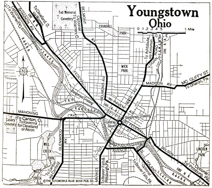
Youngstown, Ohio 1920. The Perry-Castańeda Library Map Collectio.
1630 Hessel
Gerritsz and Joannes De Leaf, Nova Anglia, Novvm Belgivm, Et Virginia.
Osher Map Library and Smith Center for Cartographic Education. 1688 Fr.
Vincenzo Coronelli, Partie Occidentale du Canada ou de la Nouvelle
France. American Geographical Society Map Collection. 1755
Cadwallader Colden, A Map of the Country of the Five Nations. Grenville
Kane Collection. 1760 Ottens,
Carte de la Nouvelle France. London, 1760. 1775 John Montresor,
A Map of the Province of New York. Courtesy of the Library of Congress,
Geography and Map Division. 1775
John Mitchell, The Irony of Empire: John Mitchell's Map. Osher
Map Library and Smith Center for Cartographic Education. 1780 Bernard Romans,
Connecticut and Parts Adjacent. Courtesy of the John Carter Brown
Library at Brown University. 1799 J.
Low, A New Map of Connecticut from the Best Authorities. New York.
1825 Anonymous,
Map of the Western Part of the State of New York Including the Holland
Purchase Exhibiting its Divisions into Counties and Towns. Courtesy
of the State University of New York College at Fredonia, Holland Land
Company Project. 1826 William Sumner,
Map of the Western Reserve including the Fire Lands in Ohio. Engraved
by William Savory of Pittsburgh.
|